
DeWitt Past Address Sources
A backward address trail begins with the source most likely to cover the period in question. County records preserve a long land history, while the town’s field books, library fiche, census sources, and permanent code records fill different gaps. The table keeps the coverage limits visible. In particular, the County Clerk’s archive period is not the same as a confirmed online Cott index period, and a directory year is a dated snapshot rather than proof of continuous residence.
| Source | Years It Covers | Where Held | What It Shows |
|---|---|---|---|
| County Clerk land records and Archives | 1794 to present | Onondaga County Clerk, Cott route, and Archives | Recorded transfer trail, archive holdings, maps, and older record formats |
| Cott land-record index | Exact online start and cutoff not located | Guest index with paid image route | Recorded-party and document-reference trail when indexed |
| DeWitt Assessor field books | Early 1960s to today | DeWitt Assessor office | Parcel inventory, transfer, permit-copy, photo, and assessment-work leads |
| DeWitt city-directory fiche | 1953, 1955, 1957, 1959, 1961, 1963, 1967, 1969, 1972, 1974, 1985 | OCPL, call number LN48 D517 D | Dated address and household or subscriber evidence when present in the source |
| Federal and New York county census sources | Federal 1790–1880 and 1900–1930; New York county 1855–1925 | OCPL Local History/Genealogy sources | Historical household and location clues that need geographic checking |
| Planning and Code files | Permanent records; date range not published | Town office or a focused FOIL request | Applications, permits, certificates, inspections, complaints, and fees |
For an old address, keep the parcel, source year, and record type together in notes. That is more useful than a long unlabelled list of names, and it preserves what the evidence actually supports.
DeWitt Past Residents Parcel Anchor
Anchor the address before searching people. Onondaga RPTS and the assessment roll can supply the property location, tax-map parcel, property class, and current owner fields. The physical property address is not interchangeable with the current owner’s mailing address. The legacy RPTS menu deliberately separates Tax Map Number, Owner Name, Property Address, and Mailing Address. Use the physical-address mode to find land on the ground, then retain the owner mailing field only as that field.
DeWitt’s Assessor is the local inventory source for more than 11,000 parcels. Its field books cover each parcel from the early 1960s to today, and the office keeps transfer and permit-related assessment material. The research does not establish an online field-book search or a public copy policy. Ask the office about a specific tax-map parcel rather than assuming a complete house history is available on the web.
DeWitt Past Ownership Trail
Recorded ownership is the backbone for many previous-residents searches, but it does not establish occupancy. Begin with the current parcel number and legal description from the assessment record. In the Cott index, locate the instrument through which the current owner acquired title, then work backward through the party who conveyed that interest. Each link should carry its own date, recording reference, and legal description. A street number may change or be missing from an older deed, while a parcel or legal description can preserve the land identity.
- Copy the exact current parcel number, property location, and legal description from RPTS or the assessor record.
- Use the Onondaga Land Records guest index to locate the current owner’s acquisition and record the date and document reference.
- Identify the seller on that instrument, then search that party as a grantee to locate the earlier acquisition.
- Repeat the prior transfer steps, keeping mortgages, easements, restrictions, lot maps, corrections, and foreclosures distinct from a conveyance.
- For an unavailable image or an older gap, retain the index citation and ask the County Clerk or Archives for paper, microfilm, map, or image access.
- Grantor
- The party who conveys an interest in a recorded instrument.
- Grantee
- The party who receives the interest. In a backward search, the earlier grantee may lead to a prior acquisition.
- Chain of title
- The sequence of recorded transfer links for the parcel, not a list of everyone who may have lived there.
- Legal description
- The recorded land description, such as a lot or metes-and-bounds description, used to connect records when a street address is absent or changes.
For records before August 21, 2017, a surname beginning with MC may be indexed with a space, such as MC CARTHY. Search the second portion with Last Name Contains to catch both forms.
DeWitt Previous Residents Field Books
The Assessor’s field books are an unusually specific local bridge for a prior-owner investigation. The town says the books show the history of every parcel from the early 1960s to today. It also receives deeds on transfers and permit copies from Planning and Zoning, maintains computer and field-book entries, and keeps appraisal photographs and inventory cards for assessment work. Those sources can point to a change in the property record even when a directory does not list the address.
Ask the DeWitt Assessor whether a parcel file can be inspected and which parts are available. The research does not establish whether every field-book year is indexed by parcel or what copying fees apply. Record the office response as a source result, including a negative response, rather than filling the gap with a guess.
Note: More than 11,000 parcels describes the assessor’s inventory, not a count of DeWitt residents or prior households.
DeWitt Previous Residents Fiche Trail
Once title identifies a period or former name, OCPL can add a household layer. Its exact DeWitt fiche holdings are 1953, 1955, 1957, 1959, 1961, 1963, 1967, 1969, 1972, 1974, and 1985 at call number LN48 D517 D. Test the address and surname in the listed year, then check whether a Syracuse, suburban, or county-rural directory actually covers the municipal label used for that address. The source must say what it says. A directory listing may show a subscriber or household, while the deed describes transfer parties.
The OCPL Local History source list is the practical fallback for land maps, directories, newspapers, obituaries, cemetery cards, census material, and the vital index. A formal DeWitt house-history guide was not located in the research.
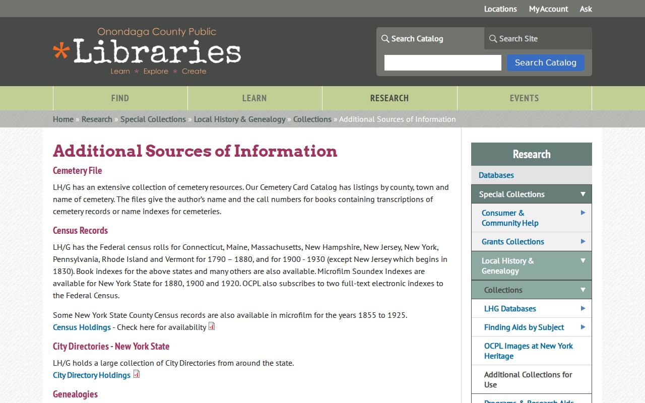
This collection list gives a source path for past residents, not a claim that a particular person lived at a given address. Ask OCPL staff for a bounded year, street spelling, and surname variant.
OCPL Local History/Genealogy is on the Central Library’s third floor at 447 South Salina Street in Syracuse. Staff assist with local and family research, including closed-stack material, and the collection serves Syracuse and Onondaga County as well as wider regional work. Use the library’s query guidance before requesting a search. A concise request that names the street, time period, surname variant, and source type gives staff a record trail they can actually test.
DeWitt Past Households Census Pairing
Pair a directory year with the closest available census source only after confirming the address and municipality label. OCPL lists federal census material for 1790–1880 and 1900–1930 across several states, plus New York county censuses from 1855 to 1925. The library also holds cemetery cards, obituary material, newspapers, family files, and a state vital index that can provide time and relationship clues. None of those sources should be turned into an unverified residential timeline.
Use a simple source flow: parcel and legal description → recorded transfer date → nearest listed directory year → census geography check → obituary, cemetery, newspaper, or vital-index cross-check. Preserve the directory’s year, page or fiche reference, and town or city label. DeWitt entries can be filed under a different postal or geographic label, so a neighboring collection is only a lead until the address is confirmed.
The directory collections themselves, including access details and the limits of their holdings, remain with the DeWitt city directory research path. That keeps a house history focused on one address and one dated chain.
DeWitt Address Archive Gaps
The County Clerk Archives is the next stop when the online index or an image does not complete the chain. The Archives reports holdings from 1794 to the present, including 1938 aerial maps and more than 47,320 cubic feet of files. Ask by municipality, former owner, parcel, subdivision, street, and approximate date. An aerial map can explain how an older road or parcel appeared on the landscape, but it does not identify a resident.
No official DeWitt street-renumbering, road-name-change, or annexation chronology was located in accessible sources. If an old address seems to disappear, compare the parcel/SBL and legal description, test old and new forms in directories and deeds, and ask the Archives or local history staff for a map or former-name lead. Keep the unresolved change marked as a research gap. Do not infer that two similar street numbers are the same property.
Note: Cott separates a free guest index from paid image access, so an index citation is worth saving before deciding whether an image or archive copy is needed.
DeWitt Previous Residents Limits
Previous residents research is most reliable when each name stays attached to a source role and date. A current assessment owner is not automatically an occupant. A grantor or grantee is a transfer party. A historical directory or census entry can document a household only for the source’s time and geographic scope. Confidential registrations and protected records may properly leave an absence in the trail.
Lawful use. Use DeWitt address history for family research, house history, civic understanding, or personal record checking. Do not use old or current records to stalk, harass, intimidate, or harm a living person.